
DJI
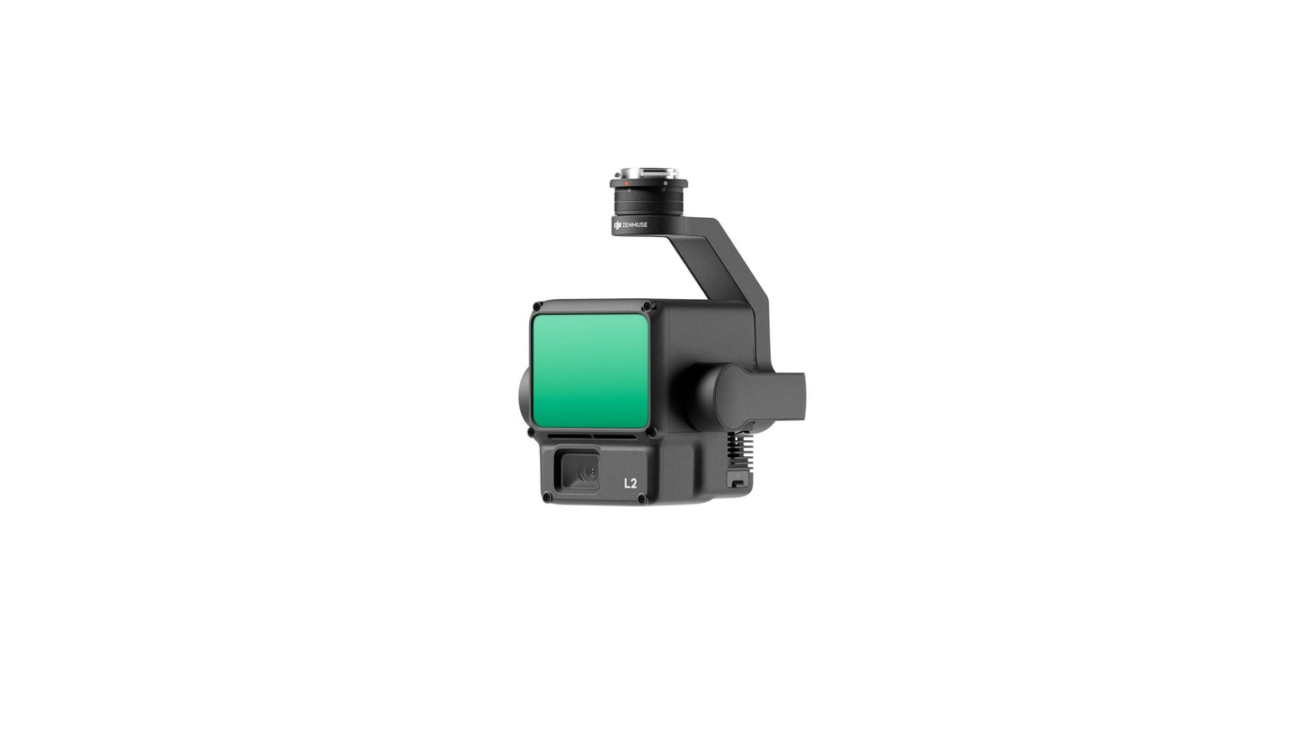
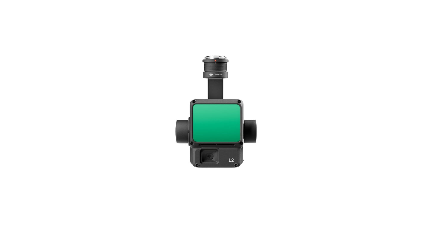
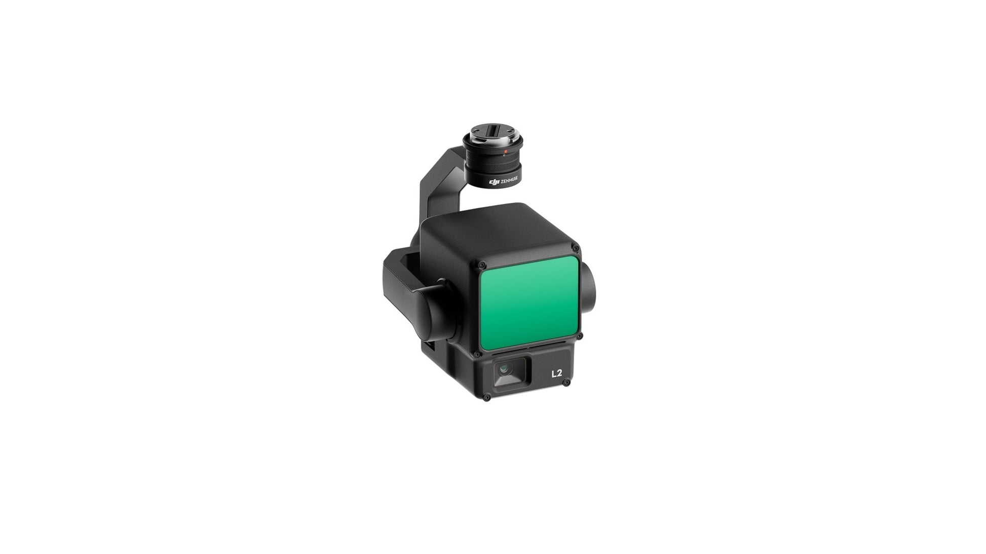
Zenmuse L2
Zenmuse L2
SKU:CP.EN.00000505.01
Couldn't load pickup availability
- Phenomenal Precision
- Outstanding Efficiency
- Exemplary Depth Penetration
- 250m/450m Detection Range
- Supports Five Returns
- Comprehensive Turnkey Solution
- LiveView Point Cloud Display
- Easy One-Click Processing with DJI Terra
Enhanced Precision
By combining GNSS technology with our proprietary high-accuracy IMU system, this solution achieves a vertical accuracy of 4cm and a horizontal accuracy of 5cm. [1]
Groundbreaking Productivity
The Zenmuse L2 is ready for operation as soon as it powers on, able to collect point cloud data across a wide 2.5km² area in just one flight. [2]
30% Expansion in Detection Range
The L2 boasts an impressive detection range of up to 250 meters (at 10% reflectivity and 100 klx) and an exceptional 450 meters (at 50% reflectivity and 0 klx) [3], with its standard operational altitude now extending to 120 meters.
Enhanced Depth Penetration
The L2 features a compact spot size of 4×12 cm at a distance of 100 meters, only a fifth of the size offered by the L1. This allows the L2 to detect smaller objects, create more detailed models, and generate Digital Elevation Models (DEMs).
Seamless Processing with DJI Terra
Generate a standardized 3D point cloud model and a Digital Elevation Model (DEM) with just one click. DJI Terra also allows you to evaluate the quality of the point cloud.
Live Point Cloud Viewing
Providing three viewing modes—RGB, pure point cloud, and a side-by-side display of both point cloud and RGB data—you can easily preview the captured 3D point cloud model [4] for real-time monitoring of progress.
Footnotes:
-
The evaluation was conducted in a controlled DJI laboratory environment with a Zenmuse L2 mounted on a Matrice 350 RTK and powered on. Flight planning used the DJI Pilot 2's Area Route function, with IMU calibration enabled. The survey involved repetitive scanning and RTK in FIX status. The flight maintained a relative altitude of 150 meters, a speed of 15 meters per second, a gimbal pitch of -90°, and route segments under 1500 meters. The area surveyed included objects with distinct angular features, and reference points on solid ground followed the diffuse reflection model. Post-processing was done using DJI Terra, optimizing point cloud accuracy. With Point Cloud Accuracy Optimization disabled, vertical accuracy was 4 cm, and horizontal accuracy was 8 cm under the same conditions.
-
The measurements were taken during the installation of the Zenmuse L2 on the Matrice 350 RTK, with a flight speed of 15 m/s, an altitude of 150 meters, a side overlap rate of 20%, IMU calibration enabled, Elevation Optimization deactivated, and terrain follow disabled.
-
The data provided represents typical values. Measurements were taken using a flat target larger than the laser beam diameter, with the incident angle perpendicular to the target, and under atmospheric visibility of 23 km. In low-light conditions, laser beams can achieve their maximum detection range. When a laser beam encounters multiple targets, the total transmitter power is distributed, leading to a reduced range. The maximum detection range is 500 meters.
- During the processing phase, the 3D model underwent sparse representation.
Share